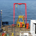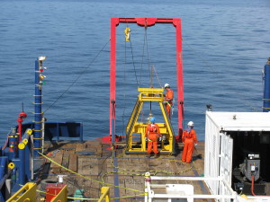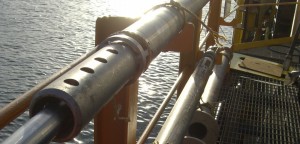
Equipment
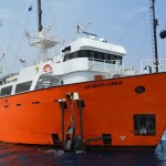
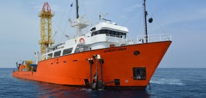
- GEOEXPLORER
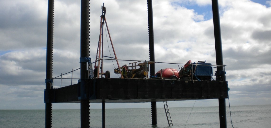
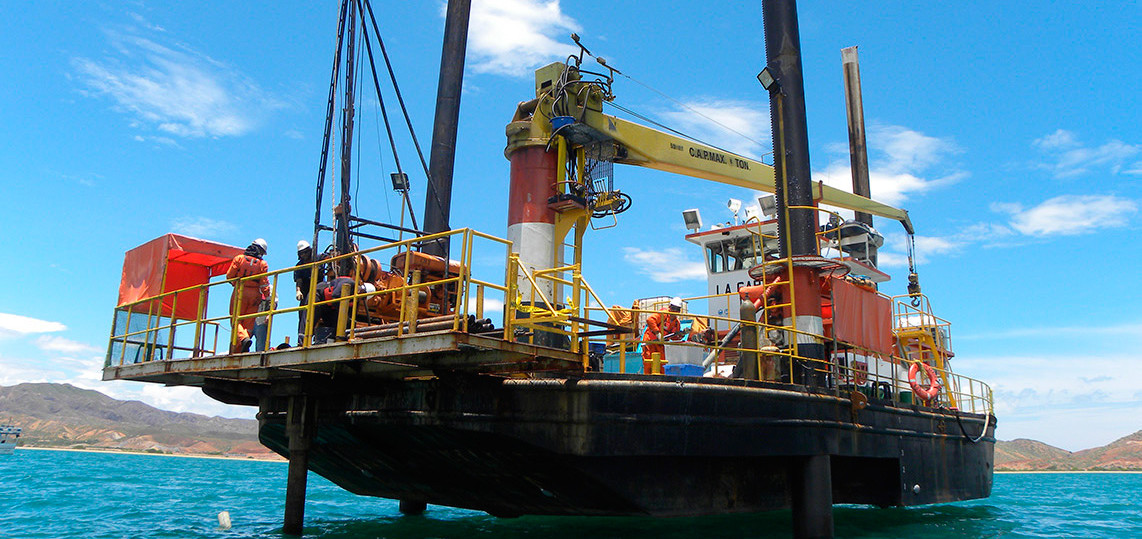
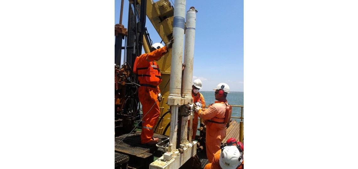
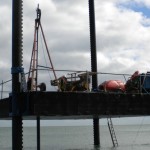
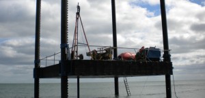
- JACK UP LA GARZA
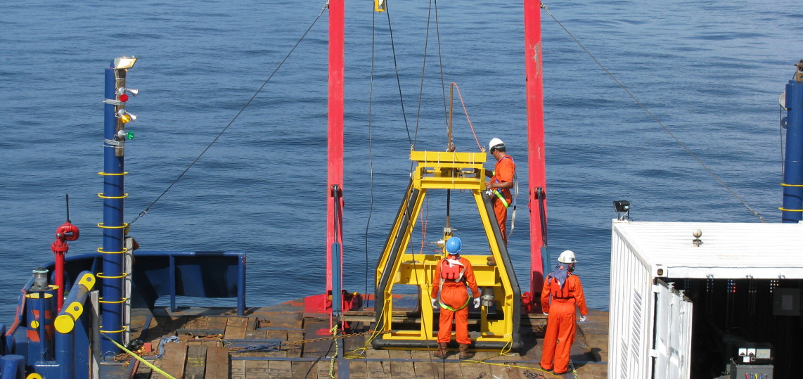
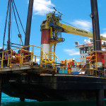
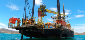
- CELTA JACKUP
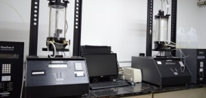
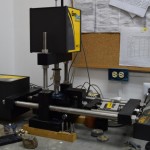
- Direct Sheer (DS)
- Direct Simple Sheer Test (DSS)
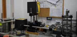
- Undrained and unconsolidated triaxial test (UUC)
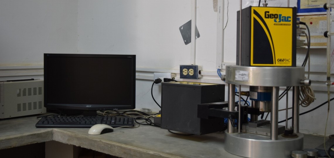
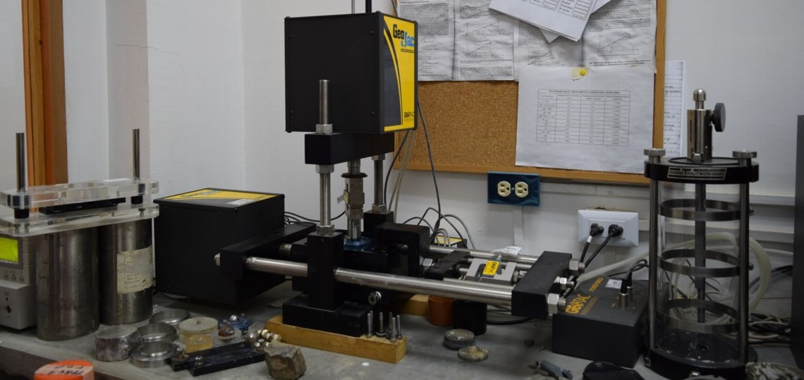
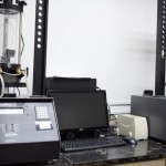
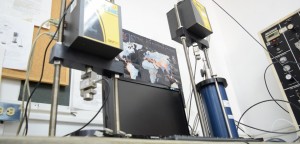
- TRIAXIAl TESTING
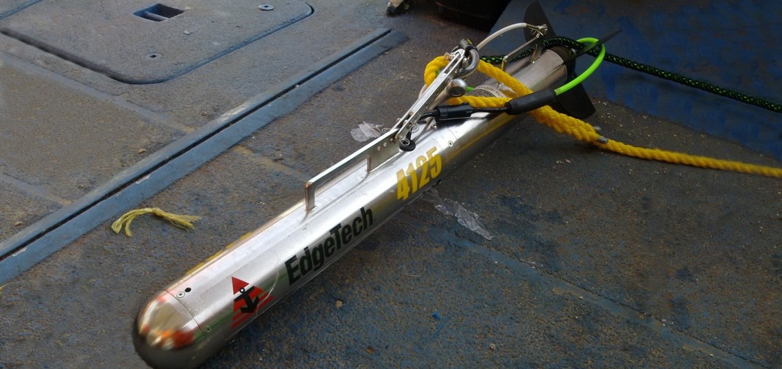
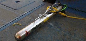
- SIDE SWEEP SONAR (TOWFISH)
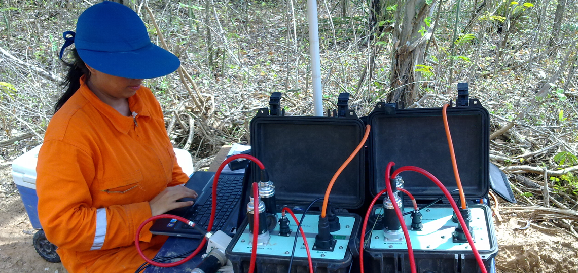
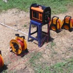
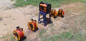
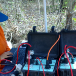
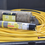
- ABEM TERRAMETER LS
- SIMCO – 7000
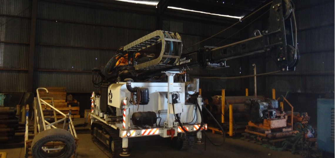
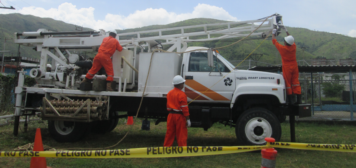
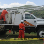
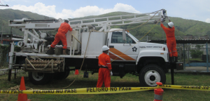
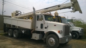
- GMC / BOART LONGYEAR BK-66 TRUCK
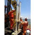
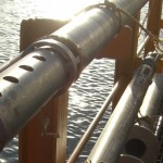
- CONE PENETRATION ENSAY (CPTU)
- MARCO – CPTU
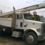
- BOART LONGYEAR LX6
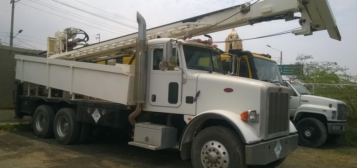
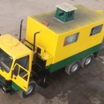
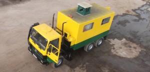
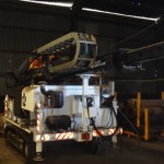
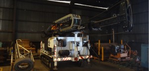
- CPT TRUCK
- ROSON-APB
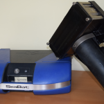
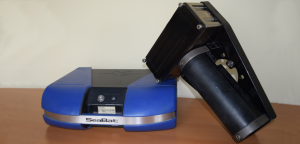
- Seismograph
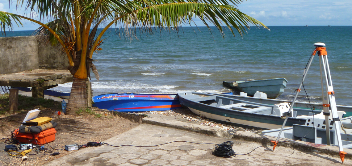
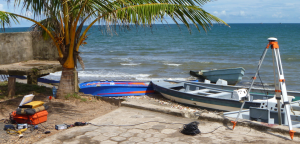
- Geographic Positioning System
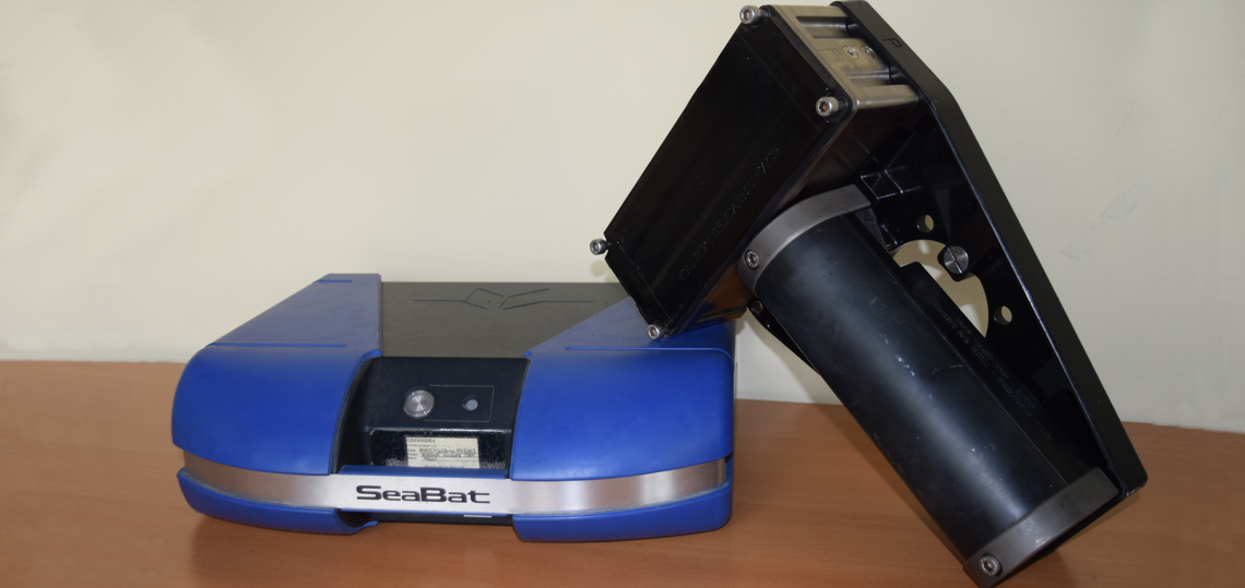
- Multibeam Echosounder
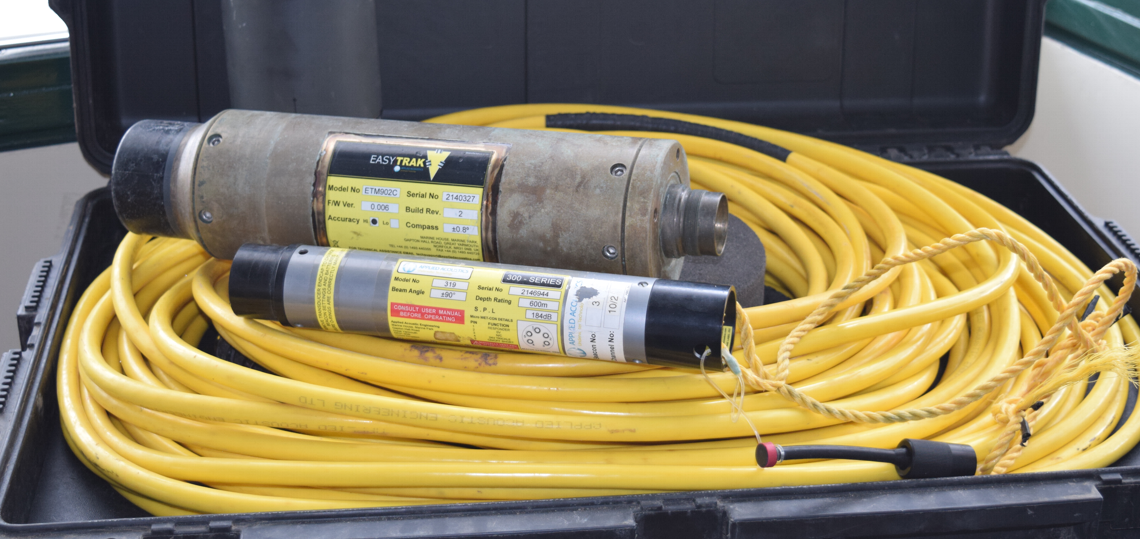
- USBL